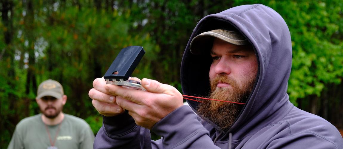
As more people venture into the wilderness, the need for nav skills is on the rise and our class attendance has reflected this trend; rapidly becoming a fan favorite. Last year we realized that our Intro to Land Nav was no longer a an “intro” class; in fact, we’d gotten quite deep into the finer aspects of navigation. Rather than cutting important aspects to shorten the class we decided to add another day. This was our second offering of our revised 2-day class; allowing us to take more time to provide students with more hands on training provided a more solid understanding of some complex skills that proved invaluable in the subsequent field exercises and evaluations.
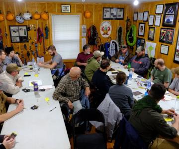
Land nav is not an easy topic and this class dove right in and all students were very motivated to learn. We had students planning for a Colorado mule deer hunt while others had aspirations of venturing off trail in some of their favorite wilderness areas. Given that this was a large class, with 17 students, one of our primary concerns as instructors is to ensure that all students are getting the instruction they need, having engaged and cooperative learners make our job much easier.
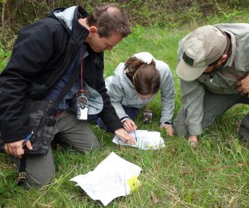
Day 1 consisted of a mixture of classroom discussions and field exercises that exposed students to the fundamental skills. We introduced students to map and compass reading, navigational principles, and plotting UTM points. A mixture of field exercises and class discussion reinforced the complex tasks and provided the students with hands on time afforded by the additional day.
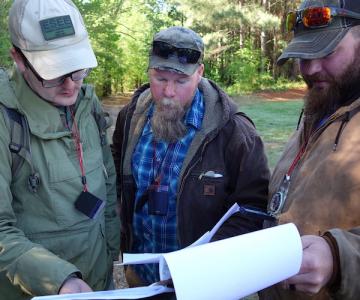
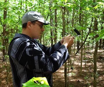
Day 2 is all about application in the real world. The long course is a challenge that requires students apply all the skills learned the previous day. Tackling thick Alabama undergrowth over some long legs forces students to work as a team and to pay attention to all the skills learned the previous day. It’s not unnatural for this course to take as much as 8 hours by some groups. Our group of over achievers all finished in under 6 hours with minimal issues. A solid group of students for sure!
